Using Maps and Compass to Navigate
Wilderness navigation using maps and a compass is an absolutely crucial skill for any outdoor enthusiast or survivalist. The ability to find your way through unfamiliar terrain can be the difference between reaching safety or becoming further disoriented, possibly lost and even in real danger.
This skill set combines an understanding of basic geography with practical application to ensure you can always find your way. Starting with maps, the key is to familiarize yourself with the symbols, scales, and contours depicted.
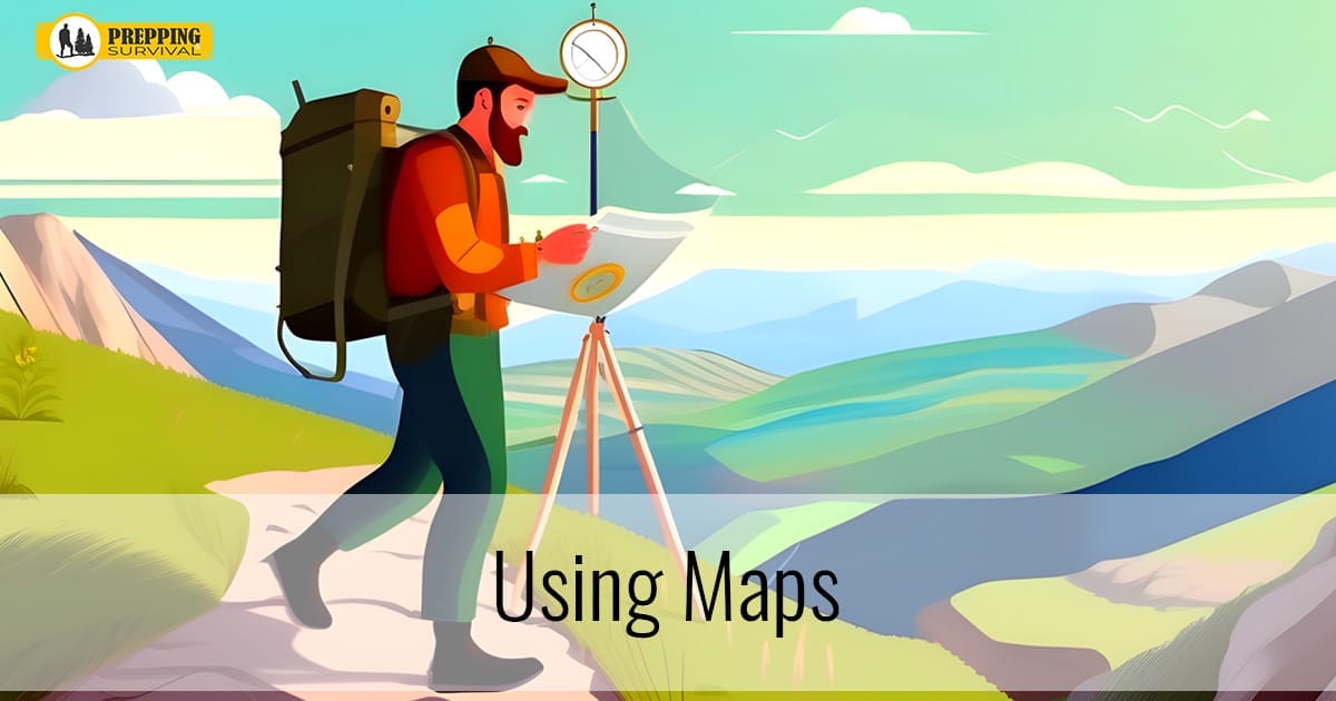
Using Maps
Maps are not just representations of the landscape. They are tools that, when understood, can reveal water sources, elevation changes, and many potential hazards in your path. Learning to read a topographic map is especially valuable, because it provides insights into the terrain’s shape, allowing you to plan routes that avoid unnecessary physical exertion and exposure to dangers.
Using Maps and Compass Together
A compass, on the other hand, is your direct link to direction. Understanding how to align your map with magnetic north using a compass ensures that your navigation is accurate.
The basic operation involves knowing how to set a bearing, which is a determined direction you wish to travel, and then using the compass to guide your path. It’s also important to understand magnetic declination, the angle difference between true north and magnetic north, as this varies depending on your geographical location and can greatly affect your navigation accuracy if not accounted for.
Integrating the use of a map and compass begins with orienting the map. This means aligning your map so that its north matches the compass’s magnetic north, giving you a true sense of direction.
From there, identifying landmarks on the map and then finding them in your physical environment can help confirm your location and guide your decisions on where to move next.
When navigating, it’s crucial to regularly check your progress, confirm your position using natural and map landmarks, and adjust your route as necessary to stay on course.
Advanced Techniques Besides Using Maps
Advanced techniques in wilderness navigation extend beyond the map and compass. These include understanding how to move in straight lines through dense forest or fog by using aiming off or handrailing, which involves following a natural or man-made feature that leads towards your destination.
Another technique is dead reckoning, which involves calculating your position by using a previously determined position, the speed you are traveling, the time you have been moving, and your direction.
Conclusion
The art of wilderness navigation is honed through practice. It’s one thing to understand these concepts intellectually, but applying them in the field, under various conditions, builds the confidence and competence necessary for effective navigation. Be sure to pack a good and detailed map and a compass in your bug out bag.
Regularly practicing using maps and other navigating skills, starting in familiar areas and gradually expanding into more challenging terrain, ensures that when the need arises, you’re well-prepared to find your way. This skill not only enhances your safety but also enriches your outdoor experiences, allowing you to explore with confidence and self-reliance.
You may also like


